Spectral Comparison of Static Models
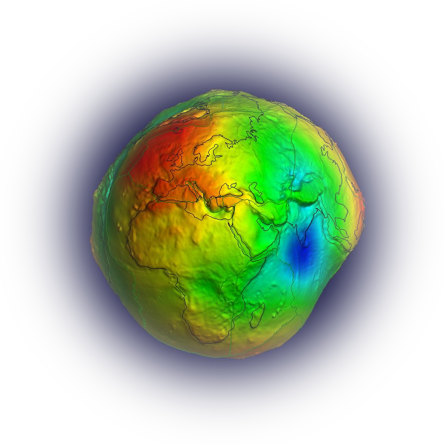
Degree variances are used to quantify the distribution of energy or signal power across different spherical harmonic degrees of the Earth’s gravity field. Since the gravity potential can be expanded into spherical harmonics, each degree corresponds to a specific spatial wavelength: low degrees represent long-wavelength features such as the flattening of the Earth or continental-scale mass anomalies, while higher degrees capture progressively shorter-wavelength structures like mountain ranges or sedimentary basins. The degree variance spectrum illustrates how much variance in the gravity field is associated with each degree, thereby providing insight into the relative contribution of processes acting at different spatial scales.
In physical geodesy, degree variances are widely used for evaluating gravity field models, comparing observational data (e.g., from satellite missions like GRACE/GRACE-FO or GOCE) with theoretical predictions, and assessing noise versus signal content therefore serve as an important tool for designing filters. This page helps users compare two selected models in terms of signal amplitudes per degree of the model and the signal amplitudes of the reference model, the amplitudes of the difference to the reference model per degree and as a function of maximum degree. The differences of degree 2 are not considered. The comparisons can be done in terms if degree variance (unites), geoid and gravity anomaly.
